


7,4 km | 7,8 km-effort


Tous les sentiers balisés d’Europe GUIDE+


Aplicación GPS de excursión GRATIS
 SityTrail
IGN / Institutos geográficos
SityTrail World
El mundo es suyo
Ruta A pie de 5,9 km a descubrir en Baja Sajonia, Region Hannover, Neustadt am Rübenberge. Esta ruta ha sido propuesta por SityTrail - itinéraires balisés pédestres.
Missing way across camping site
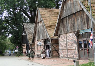
 - Photo 1")
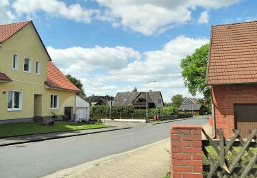
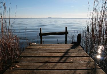
 - Photo 2")
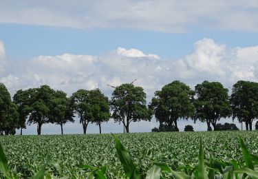
 - Photo 3")
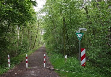
 - Photo 4")
 - Photo 5")
 - Photo 6")
 - Photo 7")
A pie

A pie
A pie
A pie
A pie

A pie
A pie
A pie
A pie